The Conversation (0)
Viral

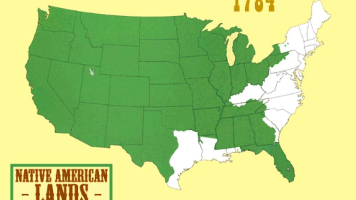
In the 19th century, the US expanded rapidly - but a lot of it came at the expense of North American land.
This map, by Tumblr user sunisup, combines seven maps made by geographer Sam B Hilliard.
It shows how Native American peoples lost land between 1784 and 1895. Native American land (in green) rapidly delcines after the war of 1812. After the war, the US began forcing North Americans out of their communities, often with violence.
Vox put it like this:
Between 1810 and 1895, America gobbled up the continent through deceptive negotiating tactics and brute military force.
More: Six maps that will make you rethink the world
More: These beautiful maps will change your perspective of the world's coasts