Science & Tech
Ellie Abraham
Oct 01, 2024
Disappointed hikers arrive at Mount Everest camp filled with trash
ViralPress / VideoElephant
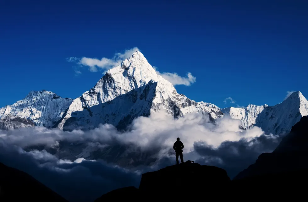
Mount Everest is growing taller each year and scientists think they’ve finally uncovered the reason why.
Reaching the summit of Everest is a feat many mountaineers aspire to achieve but year-on-year that goal gets, quite literally, further and further away.
When measured from sea level, Everest is the tallest mountain on Planet Earth at 8,849 metres high and over the last 89,000 years, it’s grown by between 15 and 50 metres.
Experts think the reason has to do with the mountain’s water system and the Arun River that is running through it.
It is thought the Arun River joined up with another river nearby and the new path created the Arun Gorge, located near Everest.
Over millennia, the river systems close to Everest have eroded away billions of tonnes of sediment, creating a deepening gorge, and it is this erosion that experts believe is causing the mountain to “spring” upwards by as much as two millimetres a year.

“Mount Everest is a remarkable mountain of myth and legend and it’s still growing,” said PhD student Adam Smith, at UCL Earth Sciences, who co-authored the study published in Nature Geoscience.
“Our research shows that as the nearby river system cuts deeper, the loss of material is causing the mountain to spring further upwards.”
Researchers suggest the erosion of so much sediment and earth has caused the land to become lighter, allowing the Earth’s crust to continue to push upwards in a process known as isostatic rebound.
The upward forces now outweigh the forces of gravity, allowing Everest to experience a “growth spurt”.
The Arun River basin is 47 miles from Everest and runs down into the larger Koshi River system – a waterway many adventurers heading for Everest base camp will traverse en route.
Study co-author, Dr Jin-Gen Dai from UCL Earth Sciences, explained how Everest’s height has led to the “interesting” river system.
“The upstream Arun river flows east at high altitude with a flat valley,” he explained.
“It then abruptly turns south as the Koshi River, dropping in elevation and becoming steeper. This unique topography, indicative of an unsteady state, likely relates to Everest's extreme height.”
Sign up for our free indy100 weekly newsletter
How to join the indy100's free WhatsApp channel
Have your say in our news democracy. Click the upvote icon at the top of the page to help raise this article through the indy100 rankings
Top 100
The Conversation (0)


