Greg Evans
Sep 05, 2019
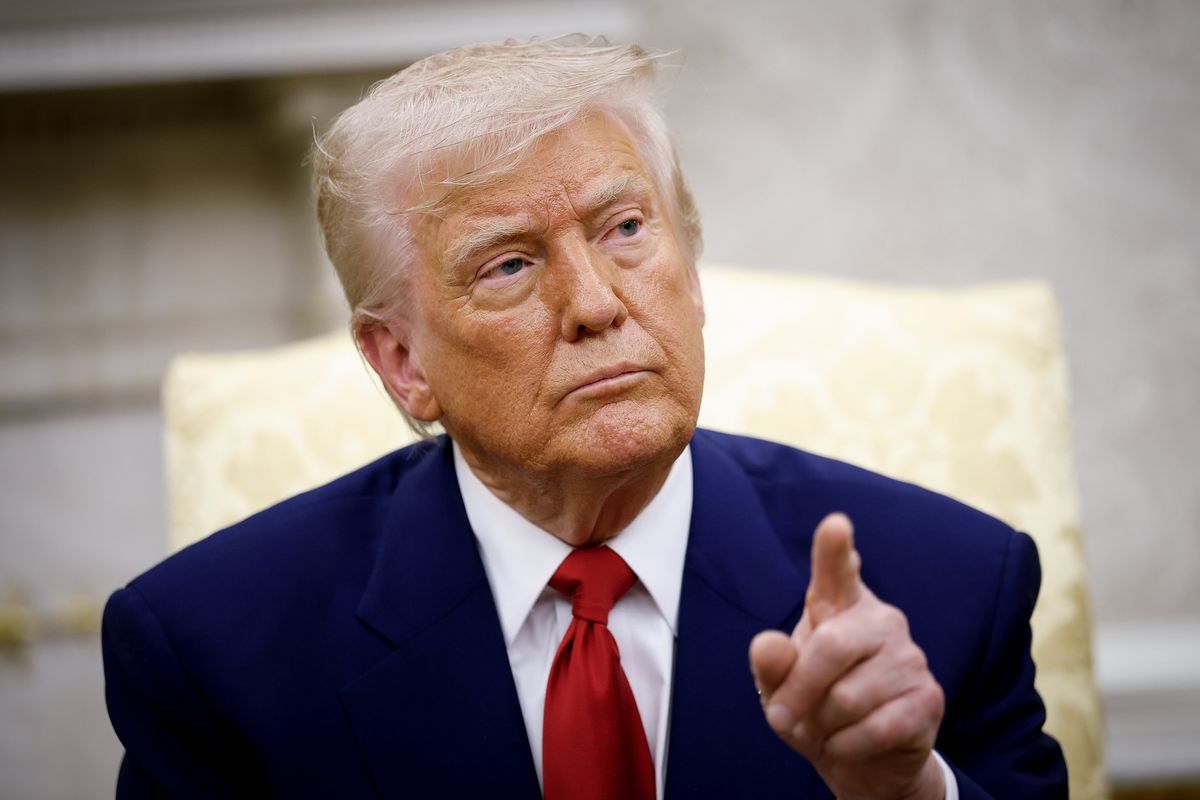
On Wednesday, Donald Trump attempted to update the public on the incoming Hurricane Dorian, which is expected to make land on the southwest coast of America on Thursday.
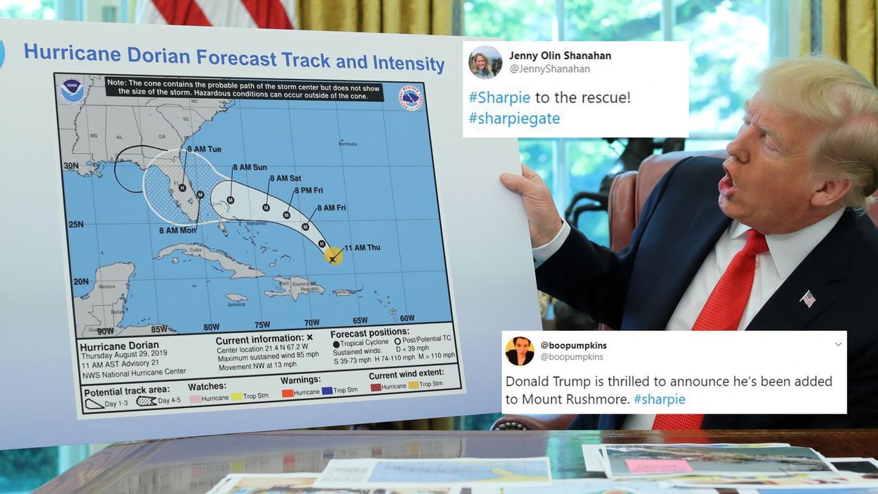
Yet, rather than merely lay out the reports that he has received from experts and how people can stay safe, the president opted to present a map to the press showing the trajectory of the storm.
However, Trump's map appeared a little different those produced by the National Hurricane Centre. See if you can spot the difference.
Whereas the NHC map shows the hurricane moving up the coast of the US away from Florida, Trump's map has a little extra added to it, indicating that the storm is likely to reach the state of Alabama.
This is Trump clearly trying to save face after he falsely claimed just a few days ago that Alabama would be one of the southern states to be hit by Dorian.
Although it cannot be fully confirmed, people were quick to accuse the president of making this edit to the map himself using nothing but a simple Sharpie pen, which seems like a lot of effort to go to just to try and prove a tweet wasn't wrong.
Within minutes of Trump presenting his drawing skills to the world, he found himself being ridiculed via the hashtag #sharpiegate, with people using their own Sharpie's to correct other things that Trump hasn't got entirely right during his presidency.
The National Weather Service for Birmingham, Alabama also subtly mocked Trump. In a tweet, they confirmed that nowhere in the state would see any impact from Dorian.
Jokes aside, Aaron Blake of the Washington Post, pointed out that the tampering of the weather forecast was actually against the law.
Top 100
The Conversation (0)
