The Conversation (0)
News

The Ministry of Defence has released a series of photographs that show the chaos of the Normandy assault in fascinating detail.
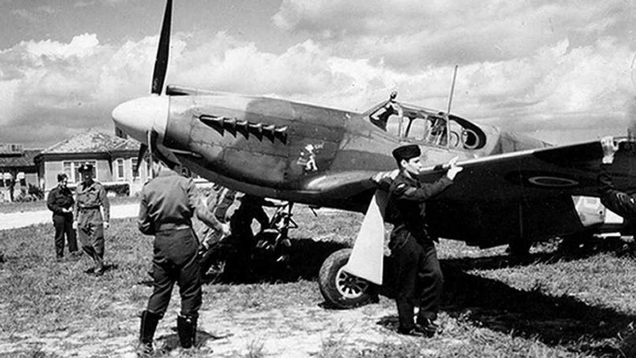
The images were captured in a series of around 30 sorties made by planes flying just 1,000ft above the battlefield on 6 June, 1944, and provided vital information about how the meticulously-planned operation was progressing.
MoD handout photo of an aerial view of Gold Beach on D-Day, 1944Reconnaissance photos of the D-Day beaches in France by RAF Tornados (top) and the original photos from 1944 (bottom), recreated in a bid to highlight the meticulous planning behind the landingsMoD handout photo of an aerial view of Omaha Beach on D-Day, 1944An aerial view of Sword Beach on D-Day, 1944, as two British jets recreated reconnaissance photos of the D-Day beaches in France in a bid to highlight the meticulous planning behind the landingsUndated MoD handout photo of II (AC) Sqn Mustang in flight