News
Bridie Pearson-Jones
Jun 23, 2017

Picture:
Reddit / GeoGeek1
If (possibly when) the ice caps melt, sea levels will rise by anything from 216 feet to 300 feet, according to the US Geological Survey.
This would entirely reshape the coastline as we know it and wipe out a lot of the world's major cities.
This is inevitable if the world keeps using fossil fuels.
Donald Trump recently pulled out the Paris Climate Accord, a deal signed by 195 countries which agreed to keep the global temperature rise below two degrees Celsius.
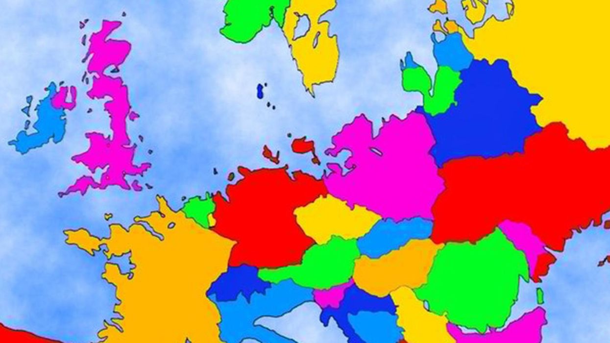
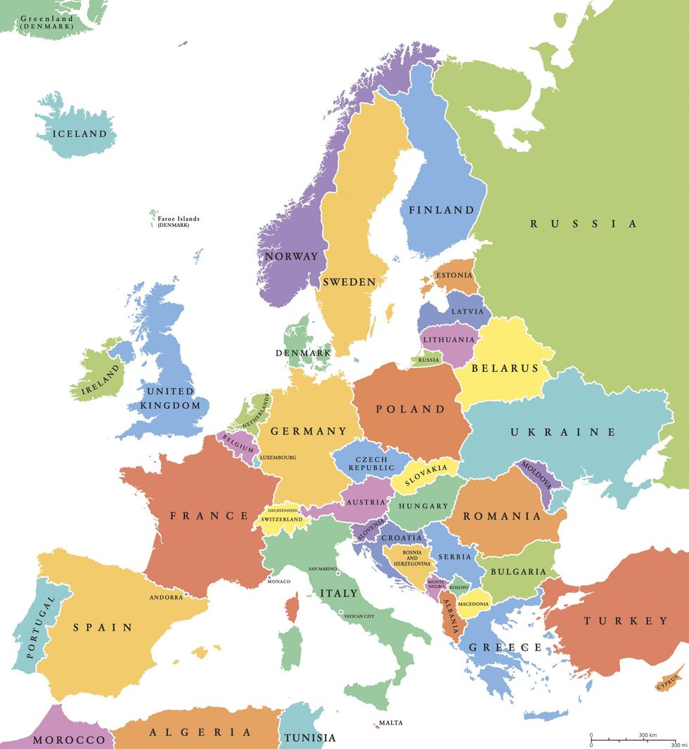
reddit user, GeoGeek1, has created a map of Europe with post-melted ice-cap imagined coastlines using data from National Geographic.
Here's Europe as we know it today.

And here's what it will look with melted ice caps.
Major cities like London, Venice, Brussels, Amsterdam, Copenhagen, Stockholm, Istanbul, Helsinki, St. Petersburg are all gone. The Netherlands is completely underwater, alongside most of Denmark.
Business Insider created an animation showing the whole world with missing borders.
The bad news is, that if we keep adding carbon to the Earth's atmosphere it's almost certain we'll create an ice-free planet.
The 'good' news is some scientists think it will take more than 5,000 years to melt it all.
More: Artists visualised what climate change could do to New York and it's breathtaking
The Conversation (0)


